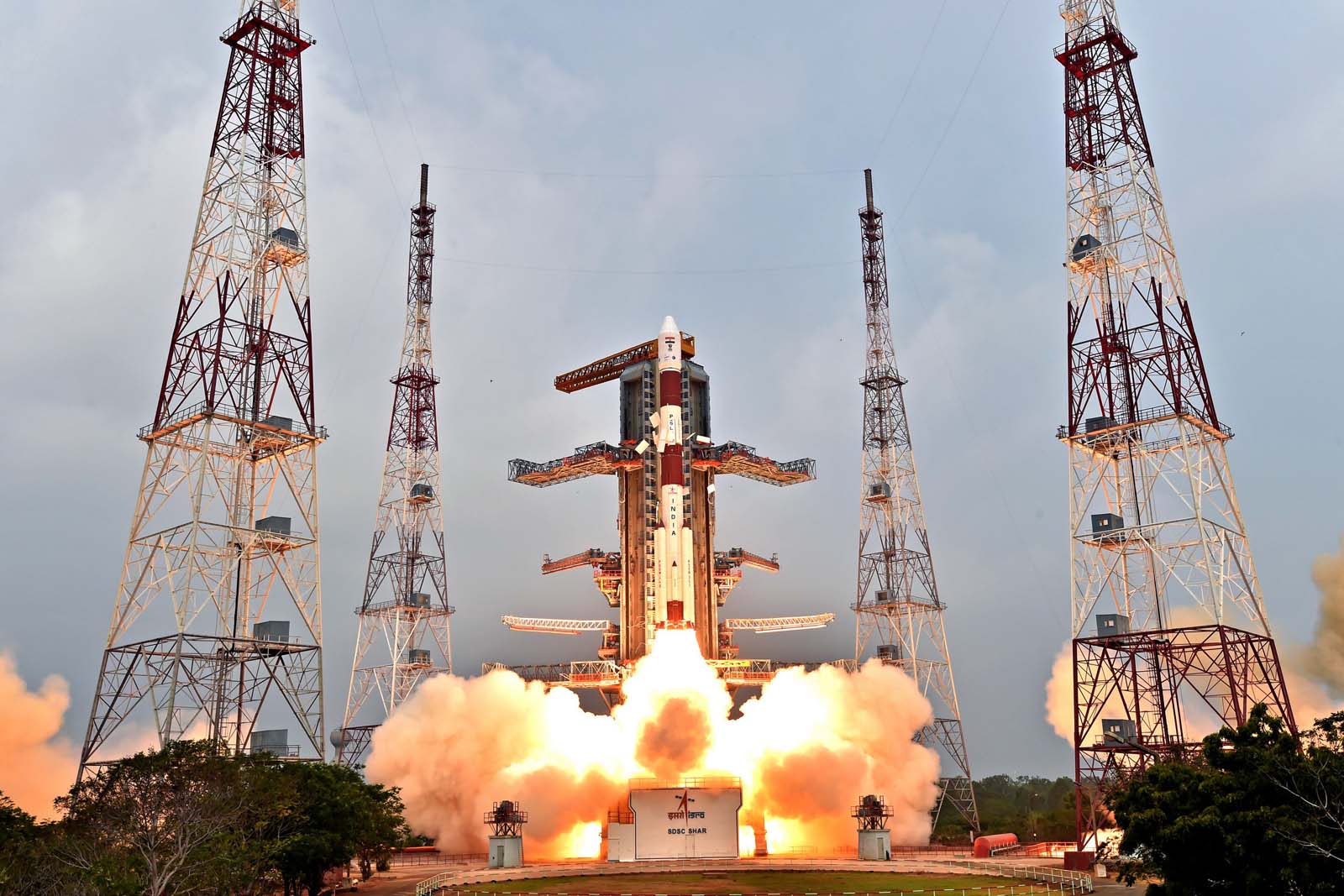
Launch of the IRNSS-1E satellite on January 20, on board a PSLV XL rocket. Credit: ISRO
During the 1999 Kargil War, India realised the need for GPS data in the region. The information at that time was owned by the US Air Force, which underlined the importance of developing an indigenous navigation system. Nicknamed desi-GPS, the Indian Regional Navigation Satellite System (IRNSS) will soon replace GPS, which is directly under the control of the US Air Force. It signifies a different kind of independence for our country. It will be useful in land, sea and air navigation, integrated with mobile phones, aid navigation for hikers and travellers, and allow for visual and voice navigation for drivers. The Intersection finds out the history behind the mission of developing IRNSS, and the importance of an indigenous satellite system.
This is the latest episode of The Intersection, a fortnightly podcast on Audiomatic. For more such podcasts visit audiomatic.in.